Hiking Eagle Mountain: Minnesota’s Highest Point
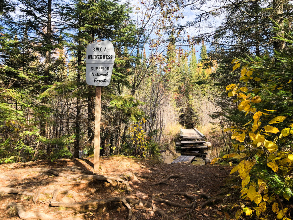
If you’re looking for a unique and challenging hike that takes you deep into the northwoods of Minnesota, you’ll want to make sure you add hiking to Eagle Mountain to your list of things to do. Eagle Mountain (or at least one of them… there’s also an Eagle Mountain located in the Lutsen Mountains ski area) is home to the highest point in Minnesota (2,301 feet in elevation) and the trail to get there cuts through Boundary Waters Canoe Area Wilderness, so you’ll be able to escape the constant and familiar hum of motors.
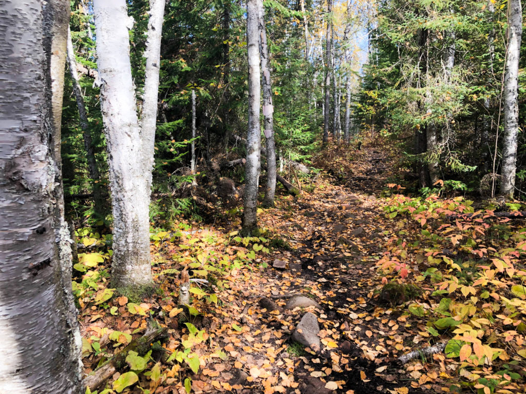
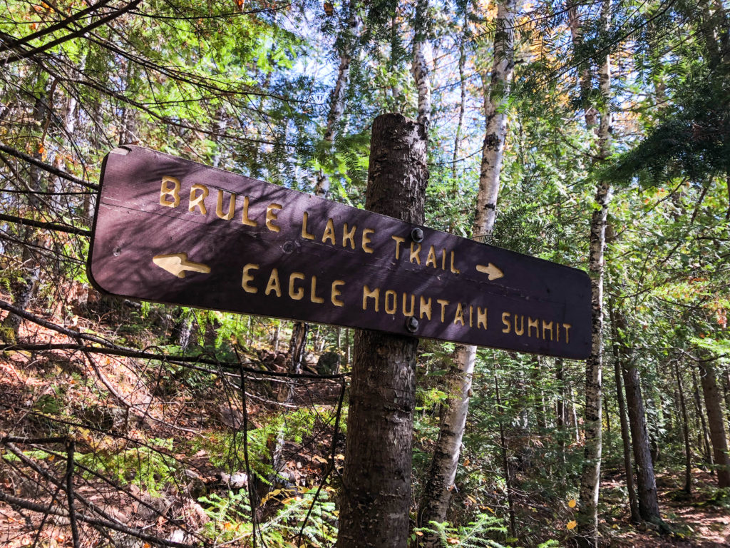
The hike to the top is a challenging one. It is rated as a difficult trail since traversing over rocks and tree roots requires hikers to pay close attention to their footing. The trail extends from the trail head for 3.5 miles to the peak of Eagle Mountain. However, if taken slowly and/or aided with hiking poles, most hikers will find the challenge rewarding and the work worthwhile when they reach the top. Though there is a relatively steep grade to the trail within the last half mile or so towards the peak, most of the trail flows over rolling and manageable hill climbs.
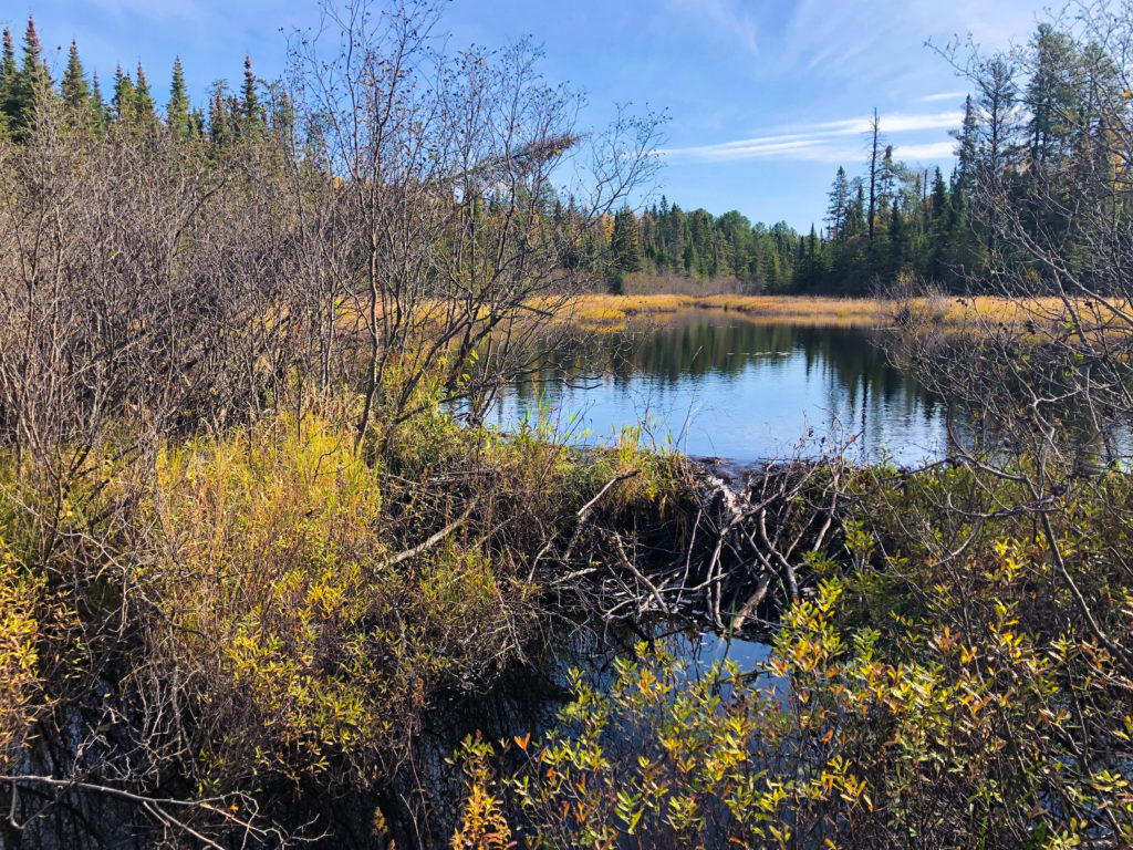
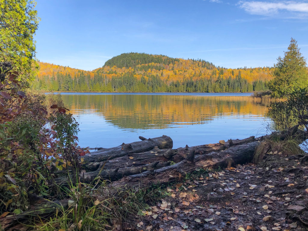
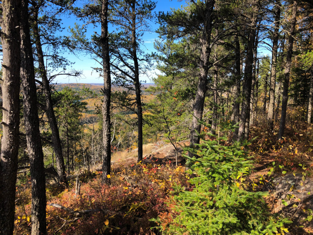
The trail travels through forest made up primarily of conifer, aspen and birch trees. Small playful plants like Bunchberry, moss and various fungi cover the forest floor making for a magical northwoods experience. You’ll also pass over a number of boardwalks including one near Whale Lake, which offer incredible views of the lake and adjacent hillside.
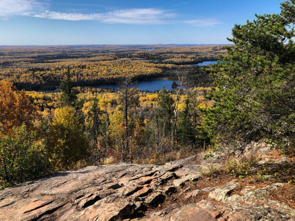
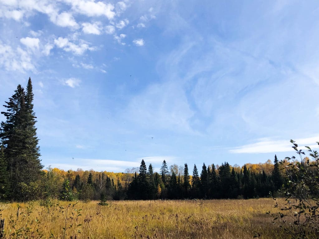
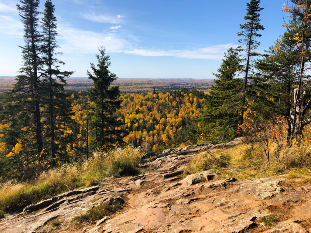
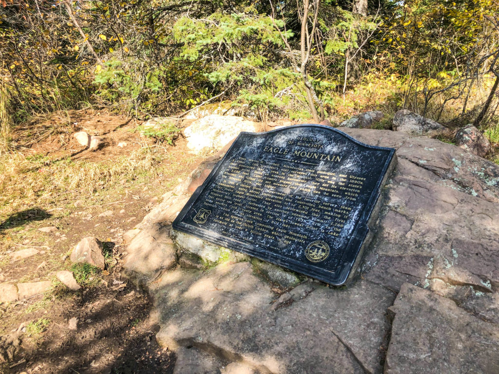
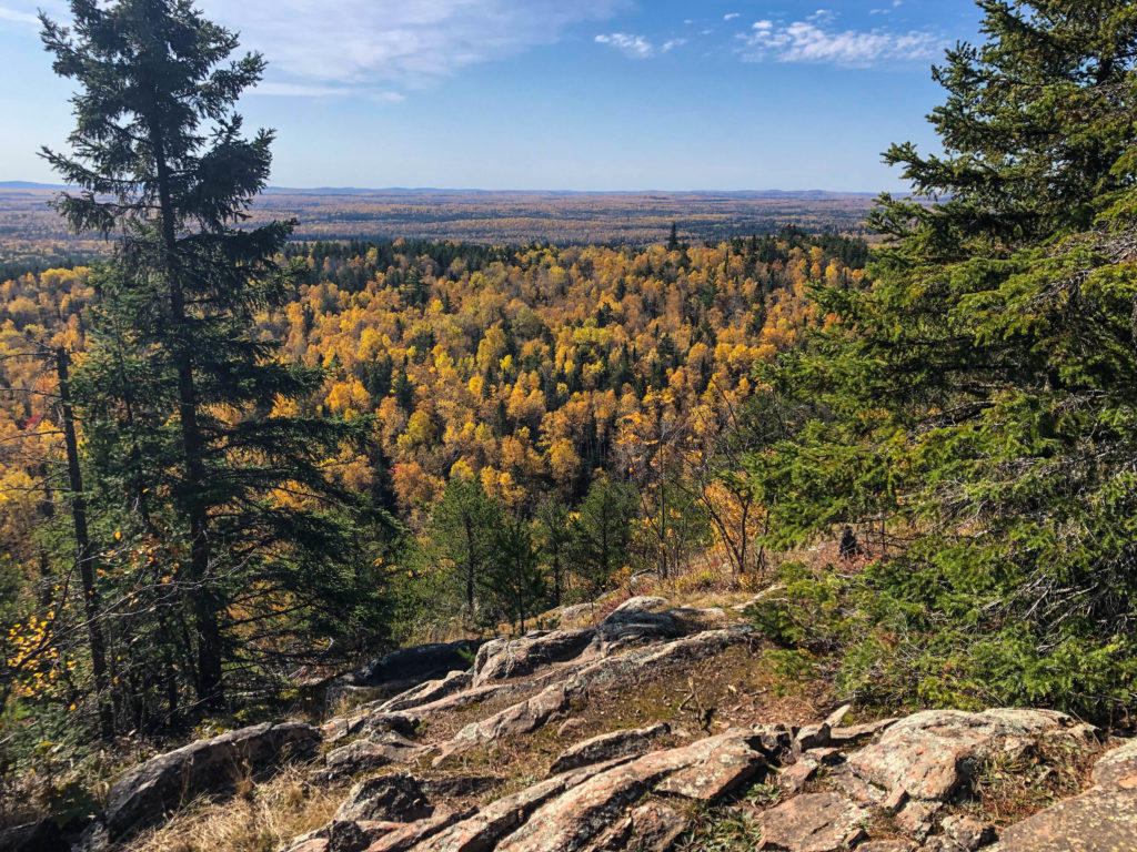
At the top of the Eagle Mountain are breathtaking views of the surrounding Misquah hills with a sliver of Lake Superior many miles in the distance. Nearby lakes and rivers fill the vista and add to the dramatic effect of the area’s grandeur. There is also a plaque that lies near the overlook, officially marking highest point in the state.
A few things you should know before you hike:
- Permits: Since the trail travels through the Boundary Waters Canoe Area Wilderness, hikers will need a free, self-issued permit. The permits can be found at a trail head kiosk.
- Cell Service: It is advertised that there is no cell service along the trail. However, when we last hiked it (in the fall of 2019) we experienced intermittent service on the section of trail 1.5 miles in from the trailhead to the top of Eagle Mountain. Regardless, we encourage you to disconnect while you take this hike. It will create a richer and more memorable experience.
- Be prepared: As we mentioned, the trail is a challenging one. Bring lots of water and plenty of snacks and be prepared for rain, snow, etc. The top of the mountain can also be very windy. Also, be sure to allow plenty of time (we recommend 4-6 hours) to complete the hike.
Directions
To get there from Lutsen, Minnesota: Take Caribou Trail (County Road 4) until it ends at The Grade (FR170). Turn right on The Grade (FR170) and drive approximately 3.5 miles. The trail head and parking area is on the left side of the road.